Digital Twin of Earth: How AI is Transforming Environmental Change Simulation
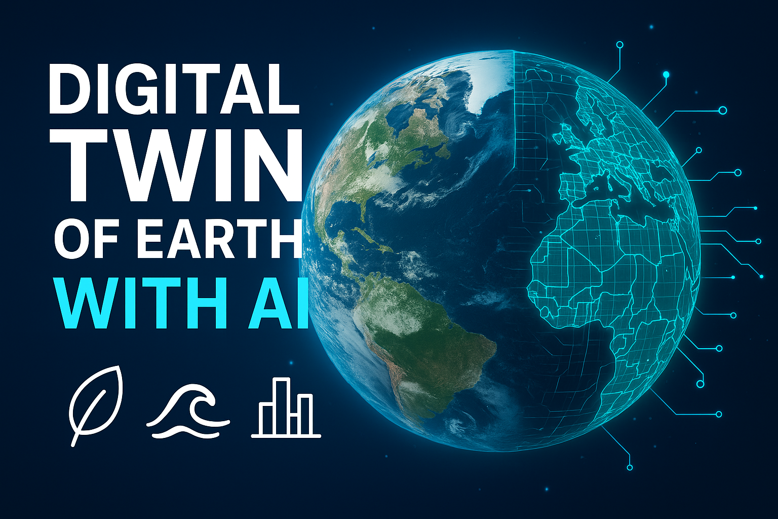
In recent years, the idea of a Digital Twin of Earth has shifted from a futuristic vision to a practical reality. A digital twin is not just a model or a map—it’s a living, evolving, data-driven replica of our planet that can simulate environmental changes with remarkable accuracy. By combining advanced physics-based models, real-time satellite observations, and the power of Artificial Intelligence (AI), scientists and policymakers are creating tools that help us predict, plan, and act on issues like climate change, flooding, droughts, and urban planning.
This blog explores what a digital twin of Earth really means, how AI is driving its evolution, real-world applications, and why it matters for our future.

What is a Digital Twin of Earth?
At its simplest, a digital twin is a virtual copy of a physical system. In engineering, digital twins are used to replicate machines, factories, or even entire cities to test scenarios without real-world risks. Applied to Earth, the concept becomes much bigger—a high-fidelity digital replica of the planet that mirrors environmental processes like weather, oceans, ecosystems, and human activities in real time.
This digital Earth twin is constantly updated with data from satellites, ground sensors, and historical climate records. It can run simulations to answer questions like:
- What happens if sea levels rise by half a meter in a coastal city?
- How will an extreme heatwave affect crops and water supply?
- Which flood management strategy works best for an upcoming storm?
The European Union’s Destination Earth (DestinE) initiative is one of the most ambitious projects in this space. Its goal is to build interactive Earth-system digital twins to support climate adaptation, disaster resilience, and sustainable development.
How AI Powers the Digital Twin of Earth
Building a global-scale digital twin is a massive challenge. Traditional physics-based models are powerful but computationally expensive. That’s where Artificial Intelligence comes in. AI accelerates simulations, fills data gaps, and provides real-time insights that would otherwise be impossible.
Here’s how AI is transforming Earth’s digital twin:
- Surrogate Modeling: Machine learning models can approximate complex climate and hydrology simulations, allowing thousands of scenarios to be tested in minutes instead of weeks.
- Physics-Informed Neural Networks (PINNs): These AI models combine physical laws with data, ensuring predictions remain scientifically valid while still being fast and flexible.
- Downscaling and Super-Resolution: AI enhances coarse global climate data into hyper-local forecasts—useful for city-level flood warnings or crop predictions.
- Data Assimilation: AI helps merge live sensor data (from satellites, buoys, or weather stations) into ongoing simulations, keeping the digital twin synced with reality.
- Uncertainty Prediction: AI-powered probabilistic models can show not just “what will happen,” but also the range of possible outcomes—crucial for decision-making.
In short, AI acts as the engine that makes Earth’s digital twin both fast and adaptive, enabling it to deliver insights at the speed that policymakers, scientists, and citizens need.
Step-by-Step: How a Digital Twin of Earth is BuiltCreating a digital twin is a structured process. Here’s a simplified breakdown:
- Define goals – Decide if the twin will monitor global climate, regional floods, or urban infrastructure.
- Collect data – Use satellites, weather stations, IoT devices, and historical datasets.
- Build models – Combine physics-based models with AI-driven algorithms.
- Assimilate live data – Keep the twin updated with real-time information.
- Run simulations – Test “what-if” scenarios like storm surges or emission reductions.
- Deliver insights – Share predictions via dashboards, maps, or alerts for policymakers and citizens.
Real-World Applications of Digital Earth Twins
The concept isn’t just theory—it’s already being used in practice:
- 🌍 European Destination Earth (DestinE): Building climate and hazard-focused Earth twins for resilience planning.
- 🌊 Venice and Rotterdam: City-scale digital twins help plan flood defenses against rising seas.
- 🌱 Agriculture: AI-driven simulations predict crop yields under different weather patterns, helping farmers adapt to climate variability.
- 🌪️ Disaster Management: Governments are testing flood and wildfire scenarios to prepare emergency responses.
- 🏙️ Smart Cities: Urban planners in Lisbon and Singapore use digital twins to simulate traffic, air quality, and energy use for sustainable growth.
These examples show how AI-powered Earth twins are becoming critical tools for climate adaptation and urban resilience.
Common Misconceptions About Digital Earth Twins
Like any emerging technology, there are myths that need clearing up:
- ❌ “Digital twins can perfectly predict the future.”
✔️ In reality, they provide probabilistic scenarios, not certainties. - ❌ “AI replaces physics-based models.”
✔️ AI supports but does not replace traditional models—physics remains the backbone. - ❌ “Digital twins are only for advanced economies.”
✔️ Scaled-down twins can be built for developing regions too, using low-cost sensors and open data. - ❌ “Once built, the twin is complete.”
✔️ A digital twin is a living system that requires constant updates, retraining, and governance.
Challenges and Future Directions
While promising, creating a digital twin of Earth faces challenges:
- High computational demand: Running global simulations requires powerful supercomputers.
- Data quality issues: Missing or biased data can distort outcomes.
- Coordination: Multiple agencies and governments must share data openly.
- Ethical concerns: Handling sensitive data, especially in urban digital twins, requires strict governance.
Still, as AI, cloud computing, and data-sharing improve, the vision of a fully functional digital Earth twin is becoming more realistic every year.
Why It Matters
The Digital Twin of Earth isn’t just a scientific project—it’s a tool for survival. From predicting natural disasters to planning sustainable cities, it gives humanity a chance to respond to environmental challenges with foresight instead of reaction. With AI as its driving force, we can test scenarios, avoid costly mistakes, and build resilience in a rapidly changing world.
The fusion of AI and digital twin technology represents one of the most powerful frontiers in environmental science. By replicating our planet in a digital space, we gain a laboratory to simulate geography-based changes, test solutions, and plan smarter futures. From climate change to urban growth, the Digital Twin of Earth is poised to become a game-changer in how we protect, manage, and thrive on our planet.
A Digital Twin of Earth is a sophisticated digital replica designed to simulate the planet’s natural processes, human activities, and environmental dynamics in real time, leveraging the power of AI to deliver deeper insights and actionable forecasts. This concept is revolutionizing how environmental and geographic changes are understood and managed—helping predict scenarios, inform policy, and optimize resource use for a sustainable future.
What Is a Digital Twin of Earth?
A digital twin is an advanced virtual model of a physical object or system—when applied to Earth, it becomes a multidimensional, constantly updated representation of environmental processes, weather, ecosystems, infrastructure, and human influences. Digital twins of Earth integrate real-time data from sensors, satellites, and ground observations into dynamic simulations, making it possible to visualize changes, run “what-if” scenarios, and predict future conditions based on different choices and events.
Step-by-Step Explanation
- Data Collection: Satellites, IoT sensors, weather stations, and remote sensing devices stream environmental data—temperature, rainfall, soil moisture, vegetation, pollution, and more.
- Data Fusion: AI algorithms process, clean, and combine diverse datasets, producing a unified and accurate digital representation.
- Simulation & Forecasting: Dynamic models powered by AI and physics simulate processes (like the water cycle, climate change, urban growth), test hypotheses, and generate forecasts.
- Interactivity & Visualization: Users interact with dashboards and 3D maps to explore various scenarios, visualize effects of interventions, and assess risks.
- Continuous Feedback Loop: The digital twin continually ingests new observational data, refining its accuracy and predictive power in real time.
How AI Powers Geography-Based Environmental Simulation
Artificial intelligence enhances digital twins of Earth by:
- Processing Big Data: AI can handle vast, multi-source datasets, extracting complex relationships and patterns underlying geographic changes.
- Machine Learning Forecasts: Neural networks predict climate patterns, vegetation shifts, and disaster risks, updating simulations with real-world observations.
- Generative AI Downscaling: Modern AI methods can refine large-scale climate models to make hyper-local predictions at city or even neighborhood resolution.
- Optimization & Planning: AI optimizes land use planning, disaster preparedness, and resource management by testing interventions and finding best-case scenarios rapidly.
Real-World Applications
- Climate Change Mitigation: Governments use digital twins to model rising sea levels, extreme weather, and disaster response—Singapore’s Virtual Singapore is a full-city digital twin for urban planning and resilience.
- Water Resource Management: NASA’s Earth System Digital Twins include platforms for hydrology, simulating rainfall, runoff, and drought to guide policy.
- Biodiversity & Conservation: Projects like Digital Reefs model coral ecosystems to forecast climate impacts and guide restoration.
- Agriculture: AI-powered landscape digital twins optimize crop rotation, soil health, and irrigation under different climate scenarios.
- Risk Assessment: AI-driven digital twins enable rapid simulation of floods, fires, and air pollution impacts, aiding emergency preparedness.
Common Misconceptions
- Digital Twins Replace Fieldwork: In reality, digital twins supplement—not replace—ongoing ground measurements and scientific research.
- Perfect Prediction: While powerful, digital twins are as accurate as the data and models they use; uncertainties and gaps still exist, especially with future scenarios.
- Purely for Scientists: User-friendly dashboards make digital twins accessible to policymakers, businesses, and even the public, not just academics.
Theoretical Perspectives
Leading theories driving digital twins include:
- Systems Theory: Treats the Earth as interconnected systems whose dynamic feedbacks can be represented digitally.
- Cyber-Physical Systems: Framework that connects physical observations with computational models for real-time interaction.
- Geospatial AI: Merges geoinformatics with AI for location-aware simulations.
Practical Examples
- Destination Earth (EU): Ambitious project to create an ultra-precise digital twin of the planet for global climate policy and risk assessment.
- 3D Landscape Models: Interactive platforms show dynamic area coverage changes, optimize land use, and visualize resource utilization.
- AI Climate Simulators: New models can fast-forward centuries of climate evolution in days, enabling quick experimentation and stress-testing solutions.
The Ultimate Guide to Earth’s Digital Twin: How AI is Predicting Our Planet’s Future
Meta Description: Discover what a Digital Twin of Earth is, how AI and machine learning are powering hyper-realistic simulations of climate change, natural disasters, and more. Learn about real-world projects, steps involved, and common misconceptions.
Introduction: A Mirror World for Our Planet
Imagine a living, breathing virtual replica of our entire planet. Not a static map, but a dynamic, evolving model that simulates the Earth’s atmosphere, oceans, ice, land, and human activities in real-time. This isn’t science fiction; it’s the groundbreaking concept of a “Digital Twin” of Earth.
Powered by colossal amounts of data and supercharged by Artificial Intelligence (AI), this digital doppelgänger is poised to revolutionize our understanding of geography-based environmental change. It’s the ultimate “what-if” machine, allowing scientists, policymakers, and urban planners to test scenarios and craft solutions with unprecedented precision. Let’s dive deep into what this means for our future.
What Exactly is a Digital Twin of Earth?
At its core, a Digital Twin of Earth is an incredibly detailed, computational model of the physical Earth system. It continuously ingests data from millions of sources—satellites, weather stations, ocean buoys, IoT sensors, and even socioeconomic datasets—to create a virtual environment that mirrors its real-world counterpart.
The key differentiator from traditional climate models is interactivity and integration. While classic models might simulate just the atmosphere or just the oceans, a true Digital Twin integrates all Earth systems into a single, complex framework. More importantly, it uses AI and machine learning to fill data gaps, improve accuracy, and run simulations at speeds impossible for conventional physics-based models alone.
The Engine Room: How AI Powers the Simulation
AI isn’t just an add-on; it’s the fundamental brain that makes a planet-scale Digital Twin feasible. Here’s how it helps, step-by-step:
- Data Fusion and Management (The Foundation):
- The Challenge: The volume of Earth observation data is staggering—petabytes from satellites like Copernicus Sentinels and NASA’s fleet.
- AI’s Role: AI algorithms, particularly machine learning, are used to clean, standardize, and merge this disparate data into a coherent, unified dataset. They can identify and correct errors, making the raw data usable for simulation.
- Modeling and Parameterization (The Brain):
- The Challenge: Physical processes—like how clouds form or how vegetation interacts with the atmosphere—are incredibly complex and occur at scales smaller than a model’s grid cells. This is called “parameterization.”
- AI’s Role: Instead of relying solely on imperfect human-written equations, AI can learn the underlying patterns directly from the data. Neural networks can be trained to represent these sub-grid processes more accurately, leading to vastly improved model fidelity.
- Running Ultra-High-Resolution Simulations (The Muscle):
- The Challenge: Simulating the entire planet at a 1km x 1km resolution (necessary for predicting localised events like thunderstorms) requires unimaginable computational power using traditional methods.
- AI’s Role: AI can create “surrogate models” or “emulators.” These are lightweight, AI-powered approximations of the heavy physics-based models. They can run thousands of simulations in the time it takes a traditional model to run one, enabling rapid exploration of countless environmental scenarios.
- Analysis and Discovery (The Insight):
- The Challenge: Finding causal relationships and unexpected patterns in the simulation’s massive output is like finding a needle in a haystack.
- AI’s Role: AI-powered analytics can sift through the results to identify tipping points, uncover non-linear cause-and-effect relationships, and generate clear, actionable insights from the complexity.
Real-World Applications: From Theory to Lifesaving Practice
This isn’t just an academic exercise. Digital Twins are already being built and used:
- Destination Earth (DestinE): A flagship initiative by the European Union. Its goal is to create a high-precision digital model of the Earth to monitor and simulate natural and human activity, supporting Europe’s Green Deal. It will provide “digital twins” focused on weather-induced extremes and climate change adaptation.
- NASA’s Vision: NASA is working on its own concept, integrating data from its Earth Observing System to improve climate projection and disaster response.
- Practical Examples:
- Precision Disaster Response: Simulating a hurricane’s path and intensity with street-level detail to optimize evacuation orders and resource allocation.
- Climate Policy Testing: Governments can “test” the long-term impact of a carbon tax or a reforestation project before implementing it in the real world.
- Agricultural Forecasting: Predicting regional droughts or pest outbreaks months in advance, allowing farmers to adapt and secure food supplies.
- Urban Planning: Modeling the cooling effect of a new park network on a city’s “urban heat island” effect, or testing how a new coastal development would fare under different sea-level rise scenarios.
Common Misconceptions and Challenges
It’s important to separate the hype from reality:
- Misconception 1: It’s a perfect, 100% accurate crystal ball.
- Reality: A Digital Twin is a tool for probabilistic forecasting, not certainty. It shows us a range of likely outcomes based on our best available data and understanding. Uncertainty, especially in long-term climate projections, remains inherent.
- Misconception 2: The model is complete and finished.
- Reality: Building a full Digital Twin of Earth is a decades-long endeavor. Current projects are building foundational components and focused “twins” (e.g., for the ocean or a specific continent). It’s a journey, not a destination.
- Misconception 3: AI replaces the need for physics.
- Reality: The most powerful approach is a hybrid. AI augments physics-based models; it doesn’t replace them. The laws of physics provide the essential framework, which AI then refines and accelerates.
- Key Challenges:
- Computational Power: The energy and processing requirements are immense.
- Data Gaps: We still lack sufficient data for certain regions (e.g., deep oceans, developing nations) and processes.
- Access and Ethics: Who gets to use this powerful tool? Ensuring it benefits all humanity, not just a few wealthy nations or corporations, is a critical ethical question.
Conclusion: A Tool for Shaping a Resilient Future
The Digital Twin of Earth, supercharged by AI, represents a paradigm shift in our relationship with the planet. It moves us from being passive observers to active, informed stewards. By providing a safe space to experiment and understand the complex consequences of environmental change, it offers our single best hope for crafting effective mitigation and adaptation strategies.
While challenges remain, the potential is limitless. This virtual mirror world is more than a technological marvel; it’s a crucial toolkit for building a sustainable and resilient future for generations to come.


Post Comment